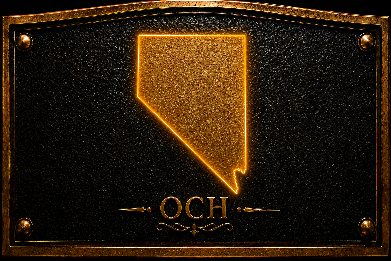
Brushed metal plaque № 48845
Inscription
Old Boundary. The 37th degree north latitude marked at this point the dividing line between the territories of Utah and New Mexico under the provisions of the Compromise of 1850, which originally organized the land ceded by Mexico in 1848.When the territory of Nevada was carved from western Utah in 1861, this line became the southern boundary of the new territory and continued to serve as such when the territory and state were enlarged by extensions to the east in 1862 and 1866, respectively.
In 1867, the Nevada legislature approved the action of Congress to add the portion of the territory of Arizona which lay to the south of this line, west of the 114 degree west longitude and the Colorado River, and to the east of the boundary of California. This action, taken on January 18, 1867, gave the state of Nevada the permanent boundaries as they are today.
Location
Sources
More markers in Lincoln
Brushed metal plaque № 49028
Caliente, NV
Union Pacific Depot 1923 (Caliente).
Brushed metal plaque № 48989
Hiko, NV
Hiko. As early as 1865, a camp was established here, and during the spring of 1866, W. H. Raymond and others laid out the townsite.
Brushed metal plaque № 48988
Hiko, NV
Crystal Springs. Crystal Spring was used as a watering place and campsite on an alternate route of the Mormon Trail in the mid-nineteenth...
Brushed metal plaque № 48987
Pioche, NV
Jackrabbit. Local legend attributes the discovery to the locator picking up a rock to throw at a jackrabbit and finding himself holding...
Brushed metal plaque № 48986
Panaca, NV
Bullionville. Bullionville began early in 1870 when John H. Ely and W. H. Raymond, removed their five-stamp at Hiko and placed it at to...