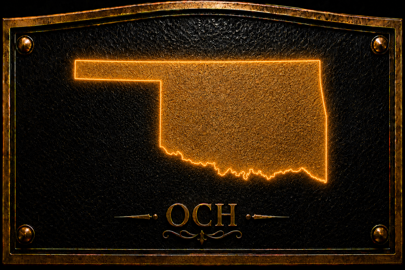
No Man's Land (Hwy 3)
Inscription
You are now entering old
No Man's Land
Colorado Kansas 37th parallel
called No Man's Land until 1890
known then as
Beaver County
Became the Panhandle of Okla: Statehood 1907
TEXAS STATE LINE 36° 30' PARALELL
The 37th parallel was chosen as the southern boundary of Colorado and Knasas. New Mexico's eastern boundary was the 103rd meridian by the Missouri Compromise. Texas came into the Union with 36° 30' parallel as their northern boundary. This northern boundary of Texas is the only state boundary in the Union set by the Missouri Compromise (Mason-Dixon). The Cherokee Outlet stopped at the 100th meridian. This left a strip of land, 34 miles wide and 107 miles long without any form of government. Congress called it the Public Land Strip but it became known as No Man's Land, being outside any jurisdiction or any form of government. It became the home of outlaws, cowboys and settlers. Beaver City was the largest town in the area. By the Organic Act of 1890, Congress attached this unclaimed land to the newly organized Oklahoma Territory with Beaver City as the County Seat. It continued thus until Oklahoma was admitted to the Union, Sat. Nov. 16, 1907.
Three counties were formed out of the Panhandle: Beaver, Texas, and Cimarron.
This area has the most unique history in all the United States.
Location
Sources
More markers in Beaver
In This Vicinity Coronado Passed 1541
In This Vicinity Coronado Passed 1541.
Hank The Cowdog
Forgan, OK
Hank the Cowdog Tales of bravery, mishchief and morals make up the popular children's book series "Hank the Cowdog" What you may not know...
Presbyterian Church in Beaver
Beaver, OK
Added to National Register of Historic Places in 1974.
No Man's Land (US 64)
You are now entering old No Man's Land Colorado Kansas 37th parallel called No Man's Land until 1890 known then as Beaver County Became...
Gateway to the Panhandle Museum
Gate, OK
Museum and library housed in the old MKT Railroad depot building.